|
|
|
|
|
|
SeaChangeSMC
December Updates & Announcement
Please see below for updates on the County’s sea level rise vulnerability assessment, an announcement about our upcoming Sea Level Rise Open House on January 30th, and other upcoming events and projects underway.
|
|
|
|
|
The County is seeking input on our sea level rise vulnerability assessment. Data has been collected on the types and locations of assets within the County that may be subject to flooding due to sea level rise. The types of assets being considered include built, natural, and human assets. The County will select approximately 30 for detailed vulnerability analysis.
Draft 30 Assets: Do you have any questions or concerns with the draft list of 30 assets? Please fill out the Draft Assets Survey by January 8th. The purpose of this survey is to solicit feedback on the initial 30 assets recommended for further study.
|
|
|
|
|

|
|
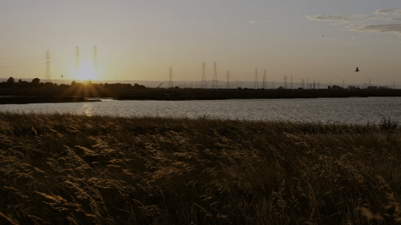
Next King Tides Dates
December 22, 23, 24
January 21, 22
|
|
|

|
|
When: Saturday, January 23rd, 2016 10am – 12pm
As part of the California King Tides Initiative, Acterra Stewardship invites members of the public to observe and document the highest seasonal tides, or “king tides,” while learning about salt marsh ecology. The event will begin with an educational talk about our baylands and the tides with a docent from Don Edwards Wildlife Refuge. Then we will begin monitoring the King Tides with a walk. During the walk, attendees will be encouraged to photograph the high tides and the impact of rising waters on wildlife habitat in the baylands. Participants can then share those images through Flickr/social media and contribute to a living record of the changes to California’s shorelines– providing a glimpse of what our daily tides may look like in the future as a result of sea level rise. Snacks and light refreshments provided. Rain or shine. If you have questions contact Jessica Sanchez,Jessica.sanchez@acterra.org.
Please register online at the Acterra website or go to:
https://www.eventbrite.com/e/king-tides-walk-tickets-19921257016
|
|
|
|
The Water at Bay Mini Doc
|
|
|

|
Tideline as Timeline: Princeton
Tuesday, Dec 22, 12-3 pm
led by Christina Conklin
Join Christina Conklin for a participatory art walk marking the winter solstice and the low tide. Together we will consider the past, present, and future of Princeton in light of sea level rise, while walking to the tide pools at Pillar Point. Wear boots and warm clothes. Families welcome! (Please open attached image for details, if it didn’t open automatically.)
Meet at Half Moon Bay Yacht Club at noon
Cost: 3 cans per person (for the local food bank.)
Please RSVP to christina.conklin@gmail.com by Dec 20. Space is limited.
Also, details coming soon about my forthcoming solo show, “Worlds in the Making: New Ecological Rituals,” at the University of San Francisco, opening in February. Happy new year everyone!
www.christinaconklin.com
www.christinaconklin.wordpress.com
|
|
|

|
|
The Coastal Regional Sediment Management Plan (CRSMP or Plan) for the San Francisco Littoral Cell (SFLC) is being developed to assist government entities, municipalities, stakeholders, and communities in developing strategies for the beneficial use of sediments to address coastal erosion and storm damage. The Plan will provide information for local and regional coastal decision makers to develop policies and execute management sub-plans for the future vitality of beaches and shoreline areas throughout the Plan area, which stretches from the Golden Gate to Point San Pedro through the adjacent watersheds and includes the communities of San Francisco, Daly City, and Pacifica.
For more information, visit San Francisco Estuary Partnership.
|
|
|
|
|
|
|
|

